A Stranger Beautiful


A trip on the BC Ferries Sea Wolf from Port Hardy to Bella Coola, then drive deep into the Great Bear Rainforest along Highway 20. Chapter 7 of ROAM British Columbia the Indigenous & colonial history of the Bella Coola Valley, its glacier-carved wilderness, Purgatory Lookout, Odegaard Falls, and the dramatic ascent of "The Hill" into the Chilcotin Plateau all from behind the wheel of a 1982 Volkswagen Vanagon. Chapter 7 of Roam British Columbia.
by Josiah Roe with additional visuals by Luke Gibson & Dylan Wolsky
A Departure by Sea
I leave Port Hardy before sunrise, my Vanagon humming along the wet, early morning streets. Rona, my half-beagle, half-terrier, is curled up on the passenger seat, nose twitching with anticipation.
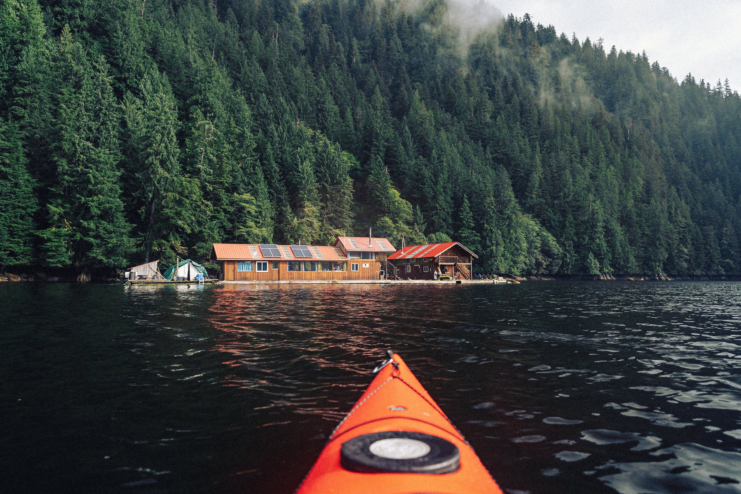
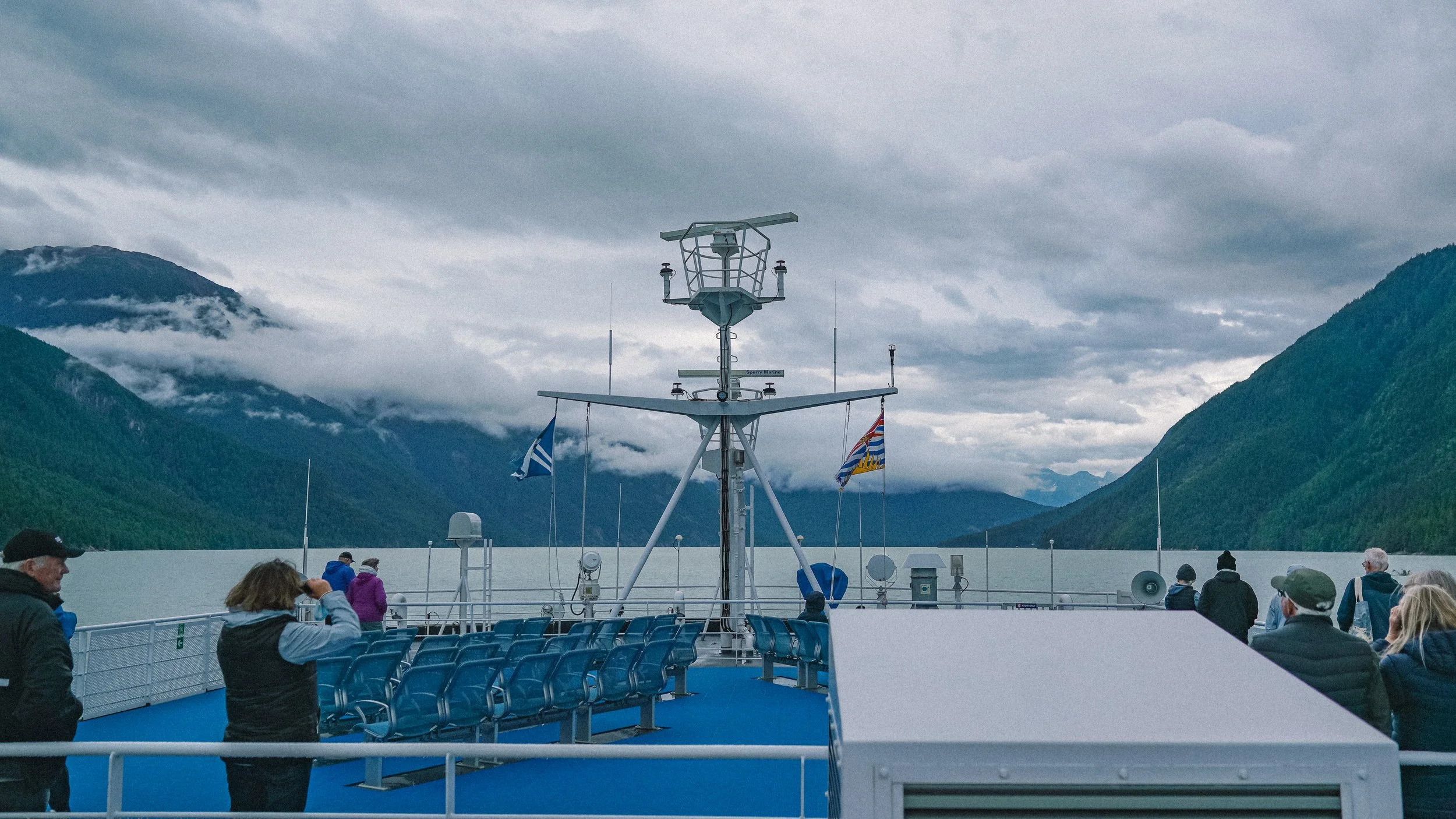
We’re bound for Bella Coola — by way of the Northern Sea Wolf, the BC Ferries route that cuts across the remote reaches of the Pacific, connecting the northern tip of Vancouver Island to the heart of the Great Bear Rainforest.

After a brief wait, we drive straight onto the ferry and park on the vehicle deck, taking a nap inside the van before emerging to view the island and islets fade into the early morning fog while the ship pushes quietly east into the Queen Charlotte Sound, and then into the inlets of the Cariboo-Chilcotin Coast.

The trip takes ten hours. Pacific White-Sided Dolphins play in the wake of the ship as fog clings to the towards cliffs of the surrounding fjords and rain spits gently on the windows.


Where the Fjords Meet the Forest
By the time we reach the end of North Bentinck Arm, the clouds lift just enough to see the glacier-carved granite walls of the Bella Coola Valley. Its beauty and stillness is stunning. We roll off the ferry and onto Highway 20, alongside a trickle of other vehicles, and enter a place that feels untouched by time.

Into the Heart of Nuxalk Territory
"Bella Coola" itself is a name with layers. It’s an exonym—a name given from outside—and a corruption of the Heiltsuk word bḷ́xʷlá, meaning “somebody from Bella Coola” or more loosely, “stranger.” The Nuxalk (pronounced “New-Hulk” - HT: Nuxalk Rising) endonym for the local region is Nuxalk, and for the specific village site of Bella Coola, the name is Q'umk'uts.


Increasingly “Bella Coola” has come to refer to the river valley, and the area region as a whole the “Nuxalk Territory”. Everywhere Nuxalk stories, art, and presence are felt: in the artwork on builders to carvings and paintings along forest trails on trees and rocks. The place is layered—with Indigenous history, colonist mythology, and the raw permanence of nature.


Climbing Toward Purgatory
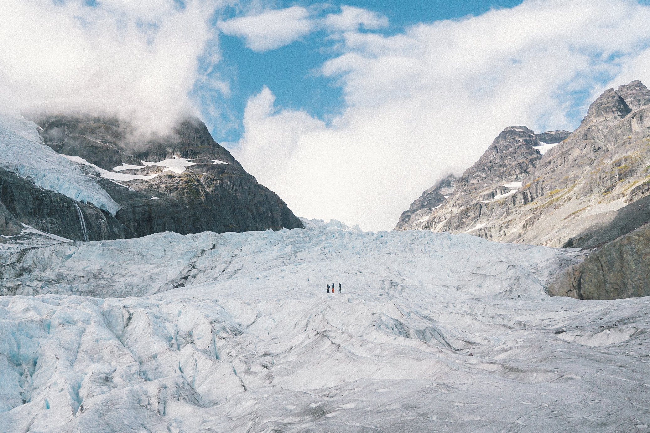
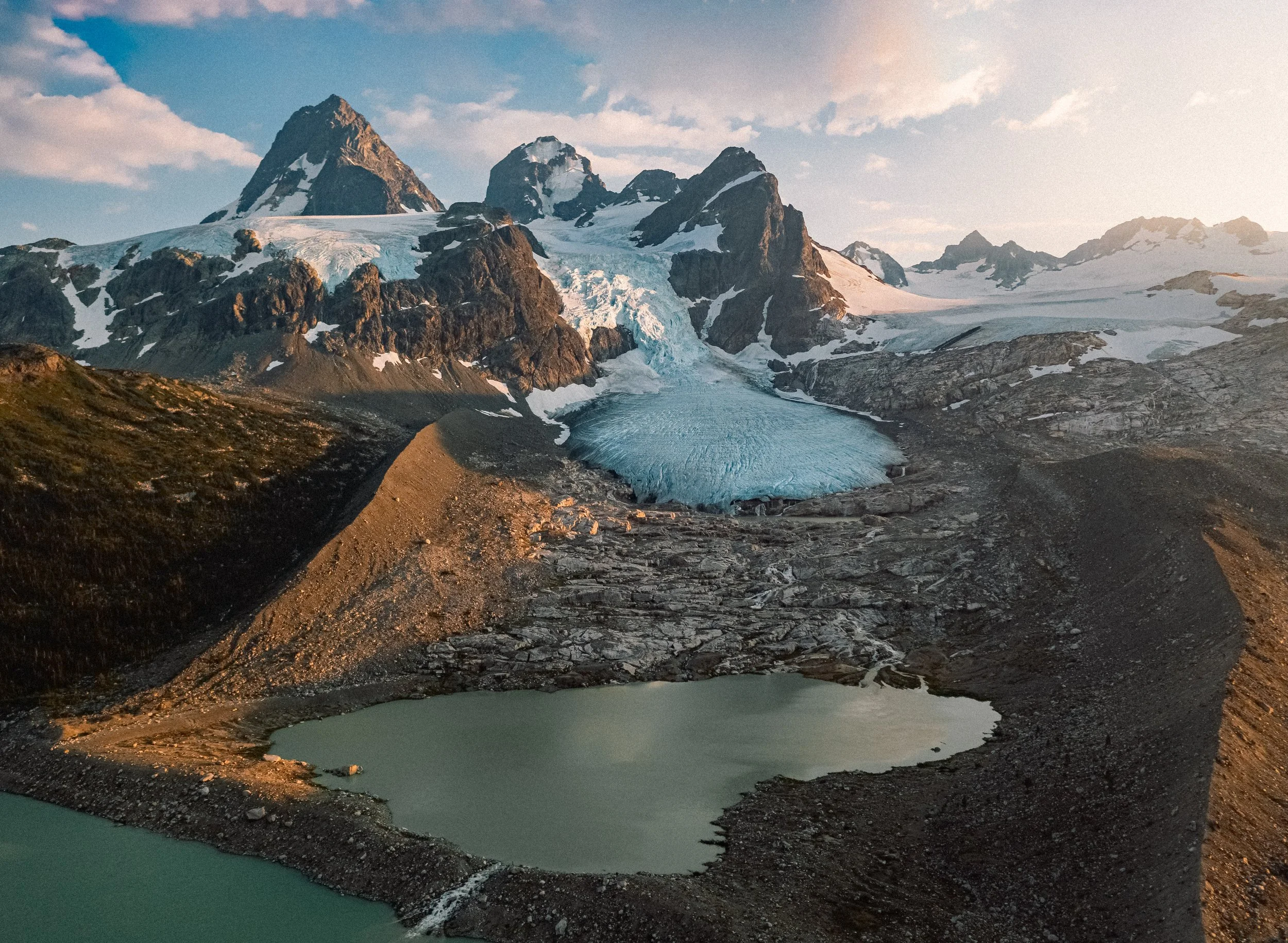
We do a quick resupply in town, then turn south onto the Natsasum Forest Service Road. The climb is immediate. The road twists past the thunder of Odegaard Falls, then pushes upward into a high alpine basin where hanging valley and glaciers tower overhead.

At the end of the road is Purgatory Lookout. From here, the view gives way into the Noeick River Valley, with Styx Mountain rising in the distance, and the fractured ice of Purgatory Glacier glowing faintly beneath a clouded sky.


The Noeick River is a wild force, its valley reshaped by several jökulhlaups—glacial outburst floods from Ape Lake when the ice dam formed by the Fyles Glacier gives way. When it does, water and debris tear through the forest and down the valley, reaching South Bentinck Arm in a single violent rush.
Downriver and Northward
We camp high in the basin, alone but for the wind. The next morning, we descend back into the Bella Coola Valley, stopping at the Hagensborg Mercantile aka “Shop Easy”. Hagensborg was settled by Norwegian colonists in the 1890s—over 100 of them—and still retains a certain Scandinavian modesty in its homes and Lutheran churches.


That evening we find a field near the Bella Coola Airport, flat and empty, overlooking the river. I set up camp as the last light glows on the ridges. Nearby a mechanic is working late on one of the helicopters of West Coast Helicopters.


Later that night I leave Rona’s food bowl outside. A fox appears from the woods, darting just close enough to test her patience. Rona launches into a frenzy. When I open the door, leash in hand, the two stare each other down in a standoff neither quite knows how to win.
After a few minutes of wild energy, the fox vanishes.


The Hill and the Plateau
In the morning with coffee in hand we continue east on Highway 20. We pass the 1904 Augsburg United Church, whitewashed and stoic, set against a backdrop of granite walls. The landscape shifts with every mile: less rain, less green, more dust, and more space between trees.

Eventually, the pavement gives way to gravel, and we begin the climb up "The Hill"—the locals' name for the dramatic switchbacks of Highway 20’s Heckman Pass in Tweedsmuir South Provincial Park. The road winds upward at grades of up to 18%, gaining over 5,000 feet as it climbs from rainforest to the edge of the Chilcotin Plateau.


The road, originally called "The Freedom Road," over the pass isn’t completed until 1955, and before that, the inland towns on the plateau are supplied by packhorse via steamships at the port in Bella Coola.
Trading Posts and Open Roads
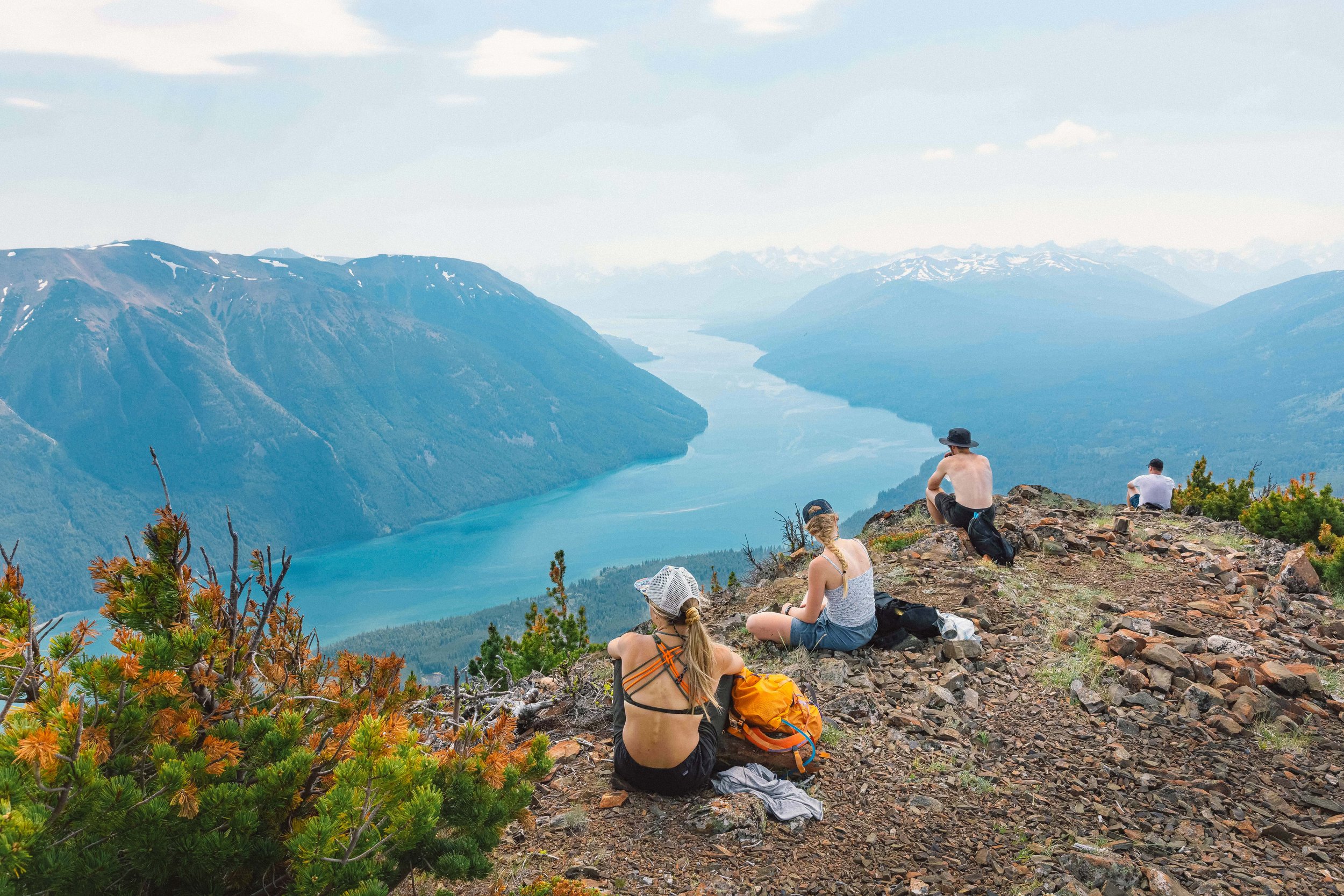
The air feels different up top. Thinner. And to the east the land stretches out, wide open. I pull over into a gravel lot and look back into the valley as a rainbow stretches across the sky.

We press on and stop at the McLean Trading Post in Anahim Lake to stretch our legs and chat with locals. Emblazoned above the mural is a sign that reads "If we don't have it; then you don't need it."

The trading post is founded in 1894 by Adolph & Maret Christensen, Norwegian colonists in Bella Coola, to provide goods to ranchers, lumberjacks, fur trappers, and miners in the area. Their grandson, D'arcy Christensen, sells the store in 2000 to a distant relative, Norm McLean, before moving to Williams Lake to publish his memoirs Double or Nothing: The Flying Fur Buyer of Anahim Lake.
I refuel at the Anahim Lake Trading Store and set out east. Cows meander along the highway, unbothered.


We press on to Tatla Lake, finding a bluff above the water just as the sun dips behind the far ridgeline. I pour a finger of whiskey and study the map. To the south: 100 kilometers of gravel and the wild sanctuary of Bear Camp on Chilko Lake. To the east: the Fraser River and the highway north.
I choose both.